41 km | 54 km-effort
Le Moulin à Papier
SityTrail - itinéraires balisés pédestres
Tous les sentiers balisés d’Europe GUIDE+
Lengte
7,1 km
Max. hoogte
213 m
Positief hoogteverschil
188 m
Km-Effort
9,6 km
Min. hoogte
43 m
Negatief hoogteverschil
188 m
Boucle
Ja
Markering
Datum van aanmaak :
2022-02-15 05:10:59.407
Laatste wijziging :
2022-03-02 13:43:04.035
2h11
Moeilijkheid : Gemakkelijk
Gratisgps-wandelapplicatie
Over ons
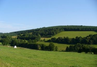
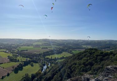
Tocht Te voet van 7,1 km beschikbaar op Normandië, Calvados, Le Bô. Deze tocht wordt voorgesteld door SityTrail - itinéraires balisés pédestres.
Plaatsbepaling
Land:
France
Regio :
Normandië
Departement/Provincie :
Calvados
Gemeente :
Le Bô
Locatie:
Unknown
Vertrek:(Dec)
Vertrek:(UTM)
686676 ; 5419208 (30U) N.
Opmerkingen
Wandeltochten in de omgeving
La Petite Suisse Normande 2014 - Pont-d'Ouilly
Mountainbike
Moeilijk
(1)
Pont-d'Ouilly,
Normandië,
Calvados,
France
3h 30min
Ja
Espace VTT FFC de Suisse Normande - Circuit 11 - Saint Omer
Mountainbike
Zeer moeilijk
(1)
Saint-Omer,
Normandië,
Calvados,
France
25 km | 34 km-effort
3h 0min
Ja
Clécy
Stappen
Gemakkelijk
(1)
Le Vey,
Normandië,
Calvados,
France
14,8 km | 20 km-effort
3h 51min
Ja
Circuit du Val la Hère
Te voet
Gemakkelijk
Pont-d'Ouilly,
Normandië,
Calvados,
France
6,7 km | 9,4 km-effort
2h 7min
Ja
Des Montagnes de Normandie?
Te voet
Medium
Le Bô,
Normandië,
Calvados,
France
15,4 km | 20 km-effort
4h 38min
Neen
Les Rochers de Briesvieille
Te voet
Gemakkelijk
(1)
La Pommeraye,
Normandië,
Calvados,
France
9,1 km | 12,9 km-effort
2h 55min
Neen
Tour du Pays de Falaise
Te voet
Gemakkelijk
Le Mesnil-Villement,
Normandië,
Calvados,
France
8,6 km | 11,9 km-effort
2h 42min
Neen
Entre l'Orne et la Rouvre
Stappen
Zeer moeilijk
Pont-d'Ouilly,
Normandië,
Calvados,
France
21 km | 28 km-effort
5h 30min
Ja
Clecy - Pontecoulant
Stappen
Moeilijk
Clécy,
Normandië,
Calvados,
France
11,7 km | 15,9 km-effort
2h 36min
Neen